SKI MAP
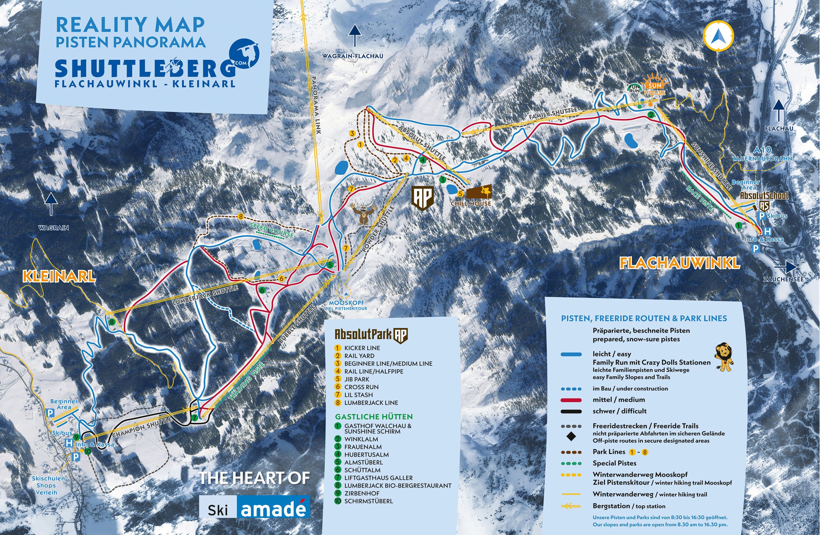
Reality Map replaces the classic ski slope panorama
Our slope panorama is an innovative Reality Map that accurately and naturally
represents Shuttleberg. The map is oriented with north at the top, and all
information is precisely positioned geographically.
This ensures you can navigate the ski area with ease.
Our slopes and parks are open from 8:30 AM to 4:30 PM
Outside of these hours, the slopes are closed, and it is not permitted to ski or enter the slopes for safety reasons.

360-degree photo
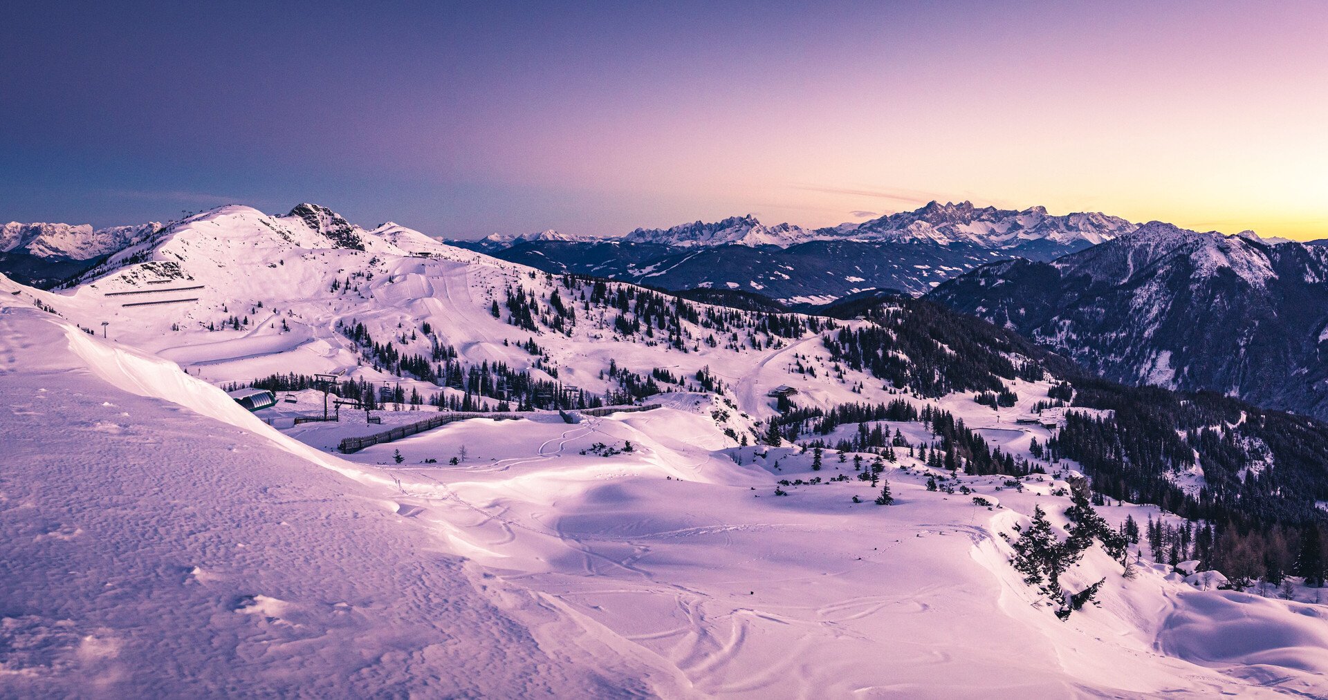
The 360-degree panoramic picture shows you the Shuttleberg as realistically as possible
We took it from the air with a 360-degree camera so that you can see the whole mountain and get an optimal impression of the ski area. You can move the image with the mouse orfinger and zoom in and out if you want to have a closer look. It's almost as if you were standing on the mountain with binoculars and looking around.

